


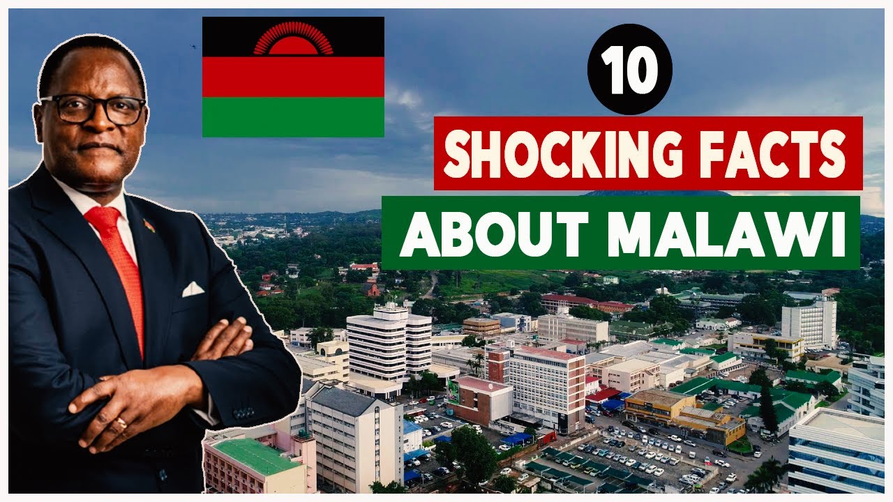


10 Things You Didn't Know About Mayotte

10 Things You Didn’t Know About Mayotte.
DISCLAIMER : For Copyright Matters please Contact us directly.... Email Address emmastopten@gmail.com. Thanks
Hello Displorers, welcome to another exciting video presented to you by Displore and thanks for watching. In this video, we will take an indebt look at one of the world’s most unnoticeable territories, Mayotte. Mayotte is an overseas department and region of France officially named the Department of Mayotte. It consists of a main island, Grande-Terre or Maore, a smaller island, Petite-Terre or Pamanzi, and several islets around these two. Mayotte is part of the Comoros archipelago, located in the northern Mozambique Channel in the Indian Ocean off the coast of Southeast Africa, between north western Madagascar and northeaster Mozambique. Mayotte is nevertheless much more prosperous than the other countries of the Mozambique Channel, making it a major destination for illegal immigration.Mayotte's land area is 374 square kilometres and, with its 279,471 people according to January 2020 official estimates, is very densely populated at 747 inhabitants per km2. The biggest city and prefecture is Mamoudzou on Grande-Terre but however, the Dzaoudzi–Pamandzi International Airport is located on the neighbouring island of Petite-Terre. The territory is also known as Maore, the native name of its main island, especially by advocates of its inclusion in the Union of the Comoros.
If you are new here, welcome, be sure to subscribe and turn on notifications so you don’t miss any of our videos.
The island was populated from neighbouring East Africa with later arrival of Arabs, who brought Islam and by 1500, sultanate was established. In the 19th century, Mayotte was conquered by Andriantsoly, former king of Iboina on Madagascar, and later by the neighbouring islands Mohéli and then Anjouan before being purchased by France in 1841. There are still many aspects of this territory which are thrilling and hence why we bring you 10 things you probably didn’t know about Mayotte.
1. Mayotte is Not an Independent Nation
In 1500, the Maore sultanate was established on the island, in 1503, Mayotte was observed and named by Portuguese explorers, but not colonized. The island has known several eras of wealth especially during the 11th century at Acoua or between 9th and 12th centuries at Dembéni, being an important part of the Swahili coast culture, which is why some of its native languages resemble Swahili. However, its sister island Anjouan was preferred by international traders due to its better suitability to large boats, and, for a long time, Mayotte remained poorly developed compared to the three other Comoros islands, often being targeted by pirates and Malagasy or Comorian raids.France gained colonial control over Mayotte in 1843 making it the most populous of the four Comoros Islands in the Indian Ocean off Mozambique in Africa. In July 2000, 70% of voters opted to accept greater autonomy but to remain a part of France. In a 2009 referendum, voters approved accession to the status of department by a large majority. In fact, 95% voted in favour of departmental status. On March 31, 2011, Mayotte became an overseas department. An overseas department is part of France that is located elsewhere, not a part of mainland France. The outcome of the referenda by the people of Mayotte in favour of changing the island's status from a French "overseas community" to become France's 101st département implied that its non-official traditional Islamic law, applied in some aspects of the day-to-day life, will be gradually abolished and replaced by the uniform French civil code. On January 1, 2014, Mayotte was set to become part of the European Union which will make Mayotte the European Union's outermost region.
2. It is a Largely a Volcanic Zone
Mayotte is a primarily volcanic island rising steeply from the bed of the ocean to a height of 660 metres on Mont Bénara.Two volcanic centres are reported, a southern one, with a breached crater to the NW, and a northern centre with a breached crater to the south-east. Mont Bénara is on the curving ridge between these two peaks, approximately at the contact point of the two structures. Volcanic activity started about 7.7 million years ago in the south, ceasing about 2.7 million years ago. In the north, activity started about 4.7 million years ago and lasted until about 1.4 million years ago. Both centres had several phases of activity and the most recent age reported for an ash band is 7000-year BP.

