


![Top 4 CRAZIEST PEOPLE in Malawi. [ BUT Verry Funny and FAMOUS]](https://i.ytimg.com/vi/0atggqutE84/maxresdefault.jpg)


Malawi-Afrika

Welcome to my travelchannel.On my channel you can find almost 1000 films of more than 70 countries. See the playlist on my youtube channel.Enjoy!
https://www.youtube.com/user/n....urettinodunya/playli
Malawi-Afrika:
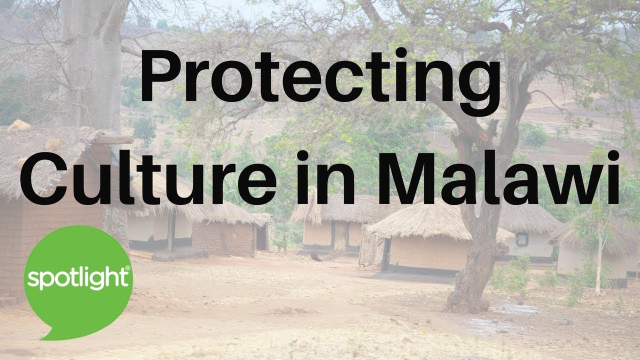
Malawi's capital is Lilongwe, and its commercial centre is Blantyre with a population of over 500,000 people. Malawi has two sites listed on the UNESCO World Heritage List. Lake Malawi National Park was first listed in 1984 and the Chongoni Rock Art Area was listed in 2006.
Malawi,officially the Republic of Malawi, is a landlocked country in southeast Africa that was formerly known as Nyasaland. It is bordered by Zambia to the northwest, Tanzania to the northeast, and Mozambique on the east, south and west. The country is separated from Tanzania and Mozambique by Lake Malawi. Malawi is over 118,000 km2 (45,560 sq mi) with an estimated population of more than 13,900,000. Its capital is Lilongwe, which is also Malawi's largest city; the second largest is Blantyre and the third is Mzuzu. The name Malawi comes from the Maravi, an old name of the Nyanja people that inhabit the area. The country is also nicknamed "The Warm Heart of Africa".
Malawi is a landlocked country in southeastern Africa, bordered by Zambia to the northwest, Tanzania to the northeast and Mozambique to the south, southwest and southeast. It lies between latitudes 9° and 18°S, and longitudes 32° and 36°E.
The Great Rift Valley runs through the country from north to south, and to the east of the valley lies Lake Malawi (also called Lake Nyasa), making up over three-quarters of Malawi's eastern boundary. Lake Malawi is sometimes called the Calendar Lake as it is about 365 miles (587 km) long and 52 miles (84 km) wide.[38] The Shire River flows from the south end of the lake and joins the Zambezi River 250 miles (400 km) farther south in Mozambique. The surface of Lake Malawi is located at 1,500 feet (457 m) above sea level, with a maximum depth of 2,300 feet (701 m), which means the lake bottom is over 700 feet (213 m) below sea level at some points.
Lake Malawi in the mountainous sections of Malawi surrounding the Rift Valley, plateaus rise generally 3,000 to 4,000 feet (914 to 1,219 m) above sea level, although some rise as high as 8,000 feet (2,438 m) in the north. To the south of Lake Malawi lie the Shire Highlands, gently rolling land at approximately 3,000 feet (914 m) above sea level. In this area, the Zomba and Mlanje mountain peaks rise to respective heights of 7,000 feet (2,134 m) and 10,000 feet (3,048 m).Wikipedia

